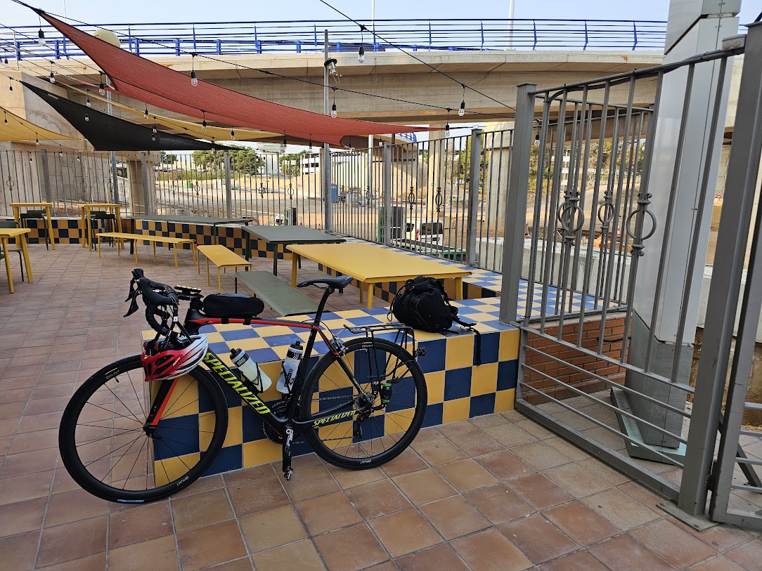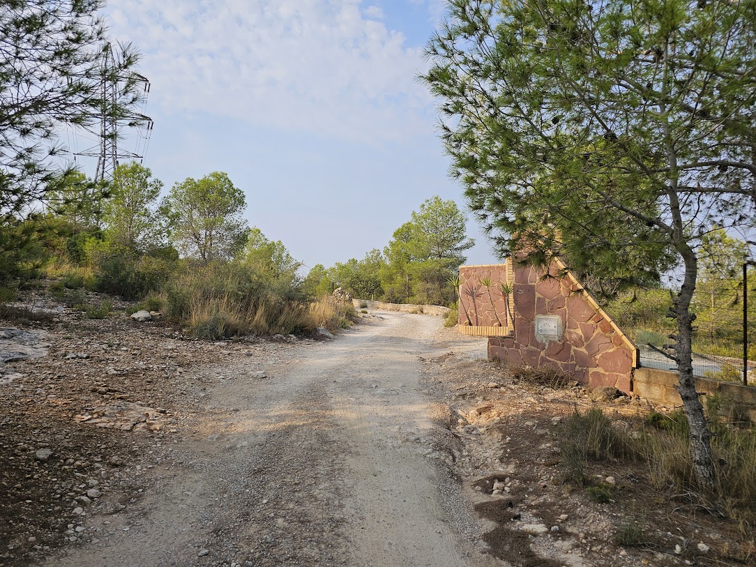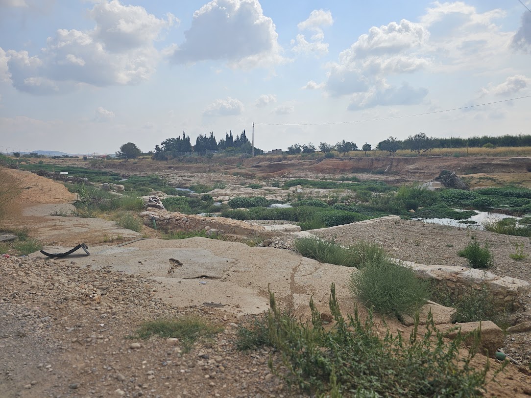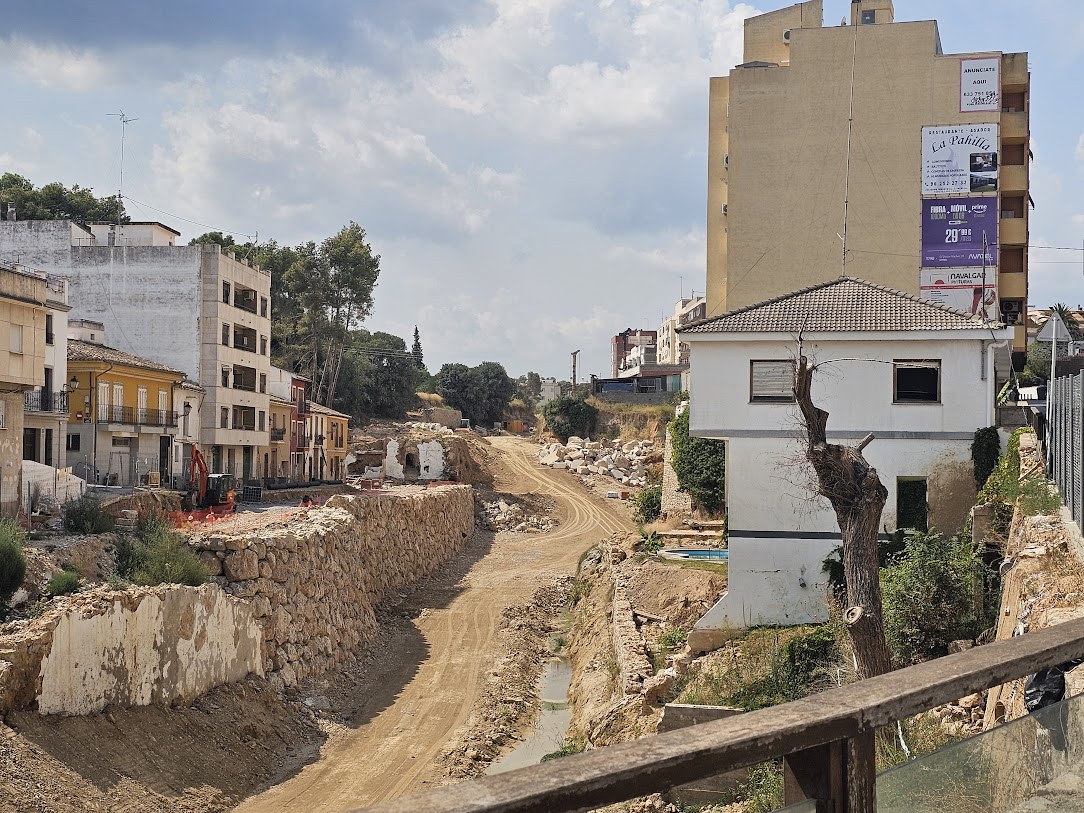
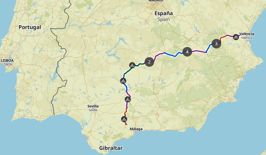
The target was 600 miles this year, but reduced to 463 miles, but the final day did not disappoint. Here is a map of the full route 🙂
The trip to El Chorro is very scenic with plenty to see along the way.
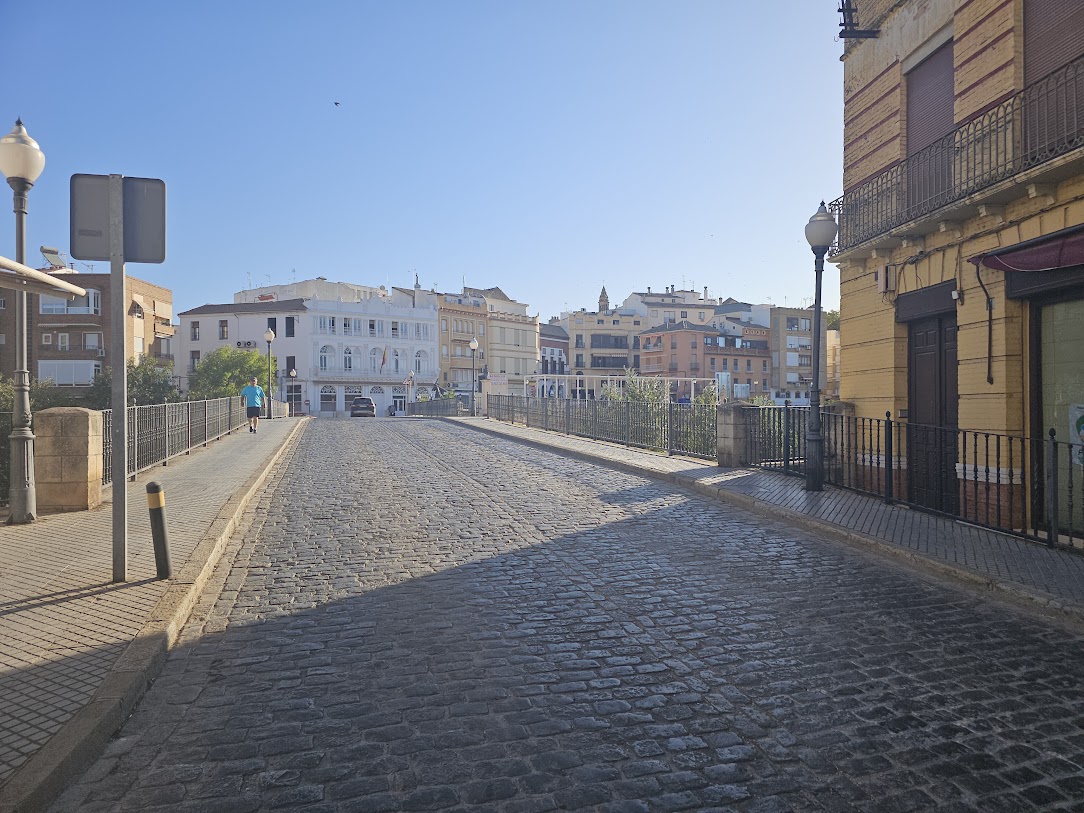 I am not a big fan of cobbles! Sure they look nice, but they are expensive to set up, hard to cycle on or walk on, and also very noisy!
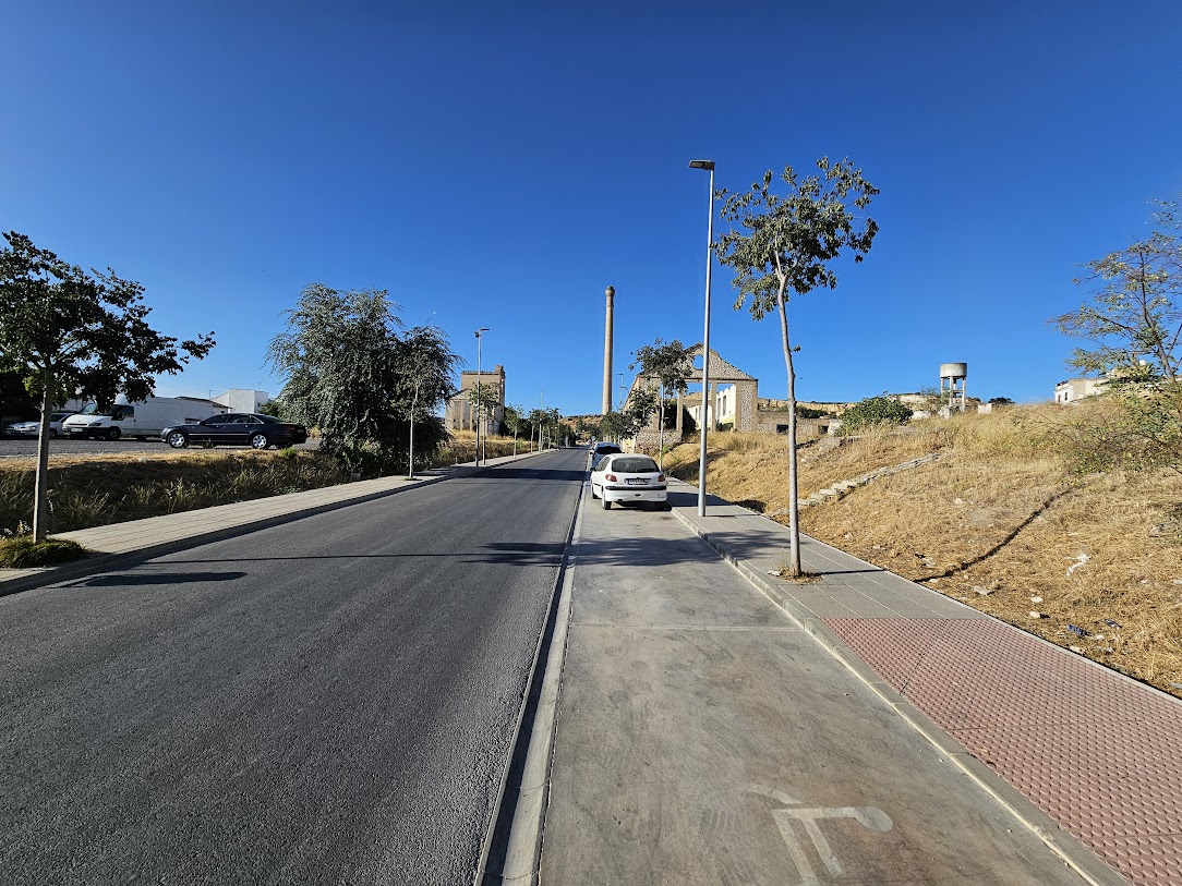
Just beyond the cobbles, some old industrial buildings in Puente Genil a a heritage site.
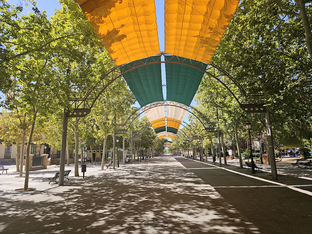 Stopped in Campilos for coffee. Nice covered walkway.
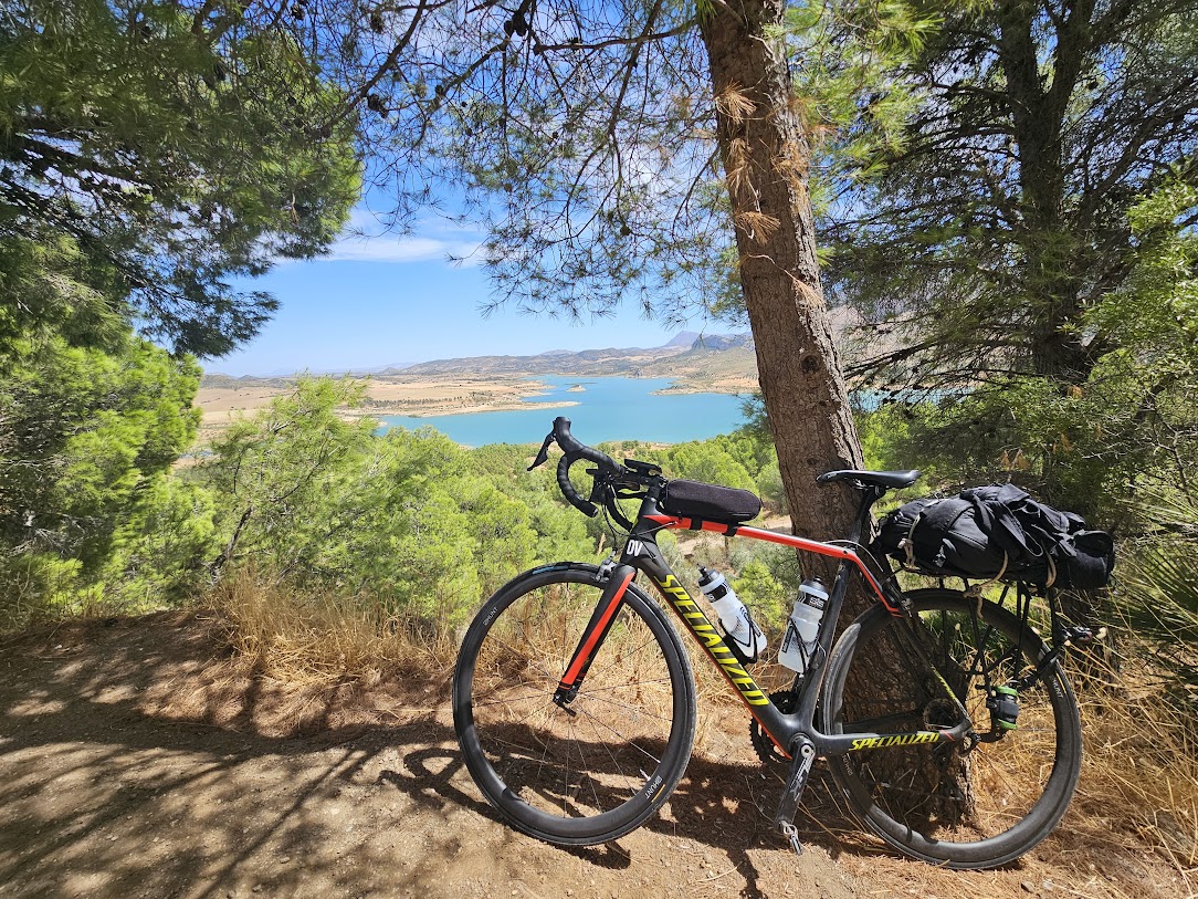 The lake area to the north of El Chorro is one of my most favorite places on Earth.
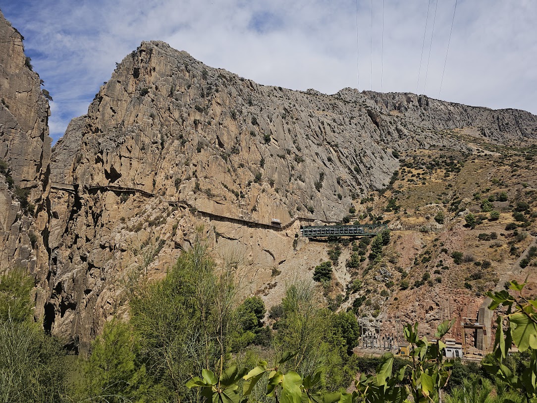 A well known walk way in the El Chorro gorge. Needs to be booked in advance.
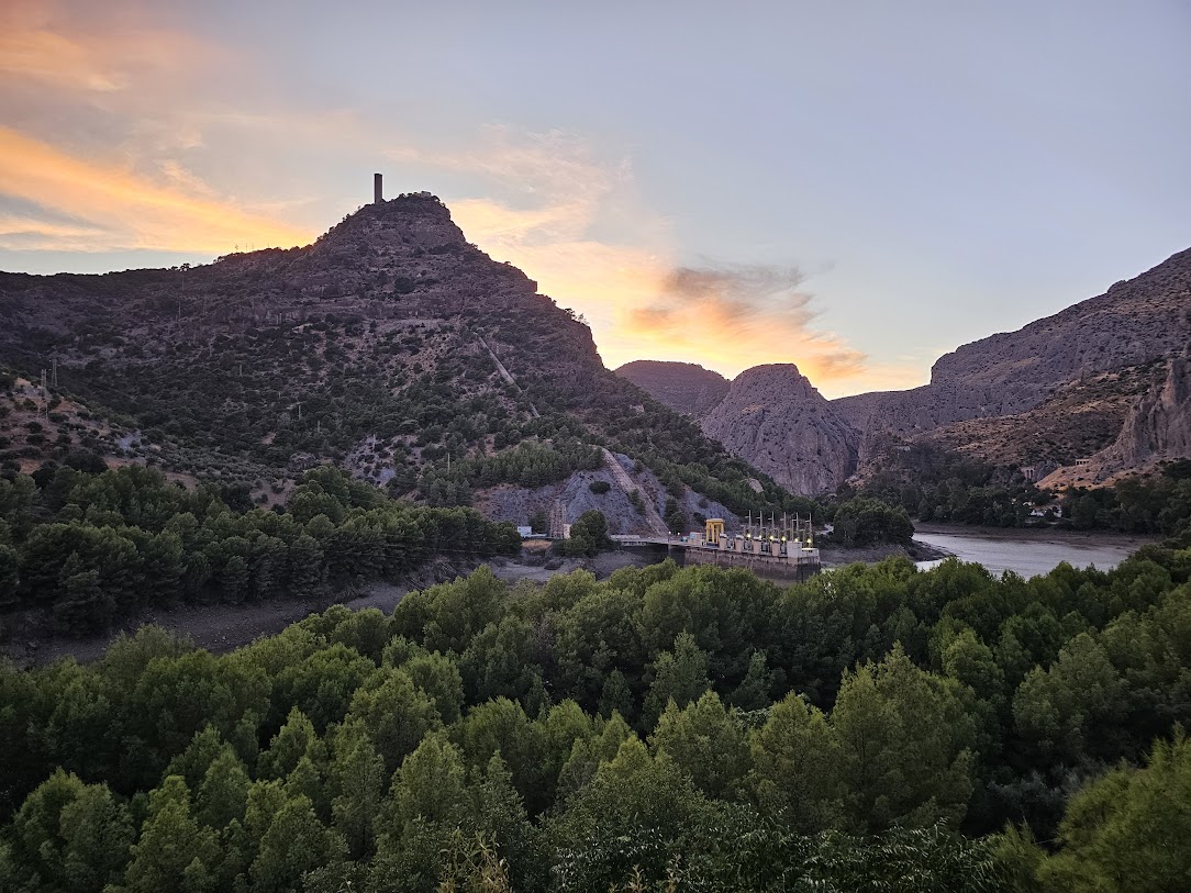
Sunset view from my hotel! Observered over a beer!
So its a wrap. shame to cut things short but this tour has been a great blast. Starting to think about the 2026 tour which will focus on an area I have not get explored.
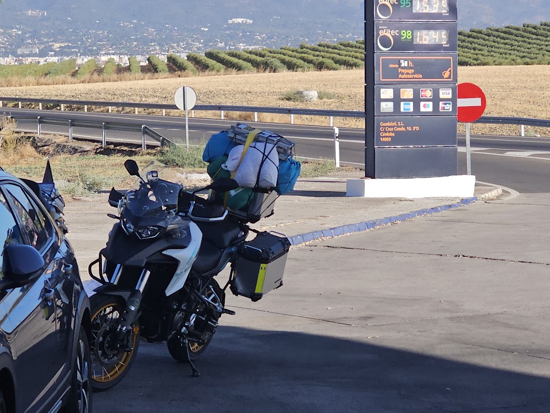
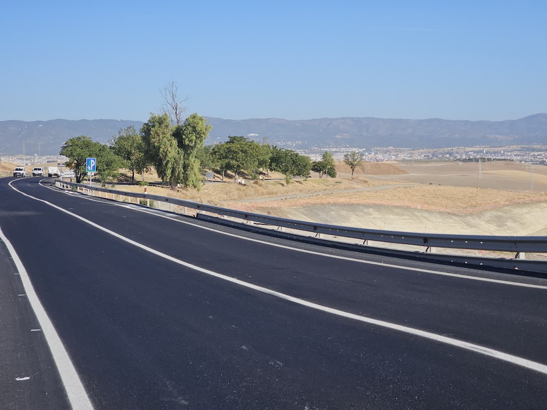 Looking back over Cordoba
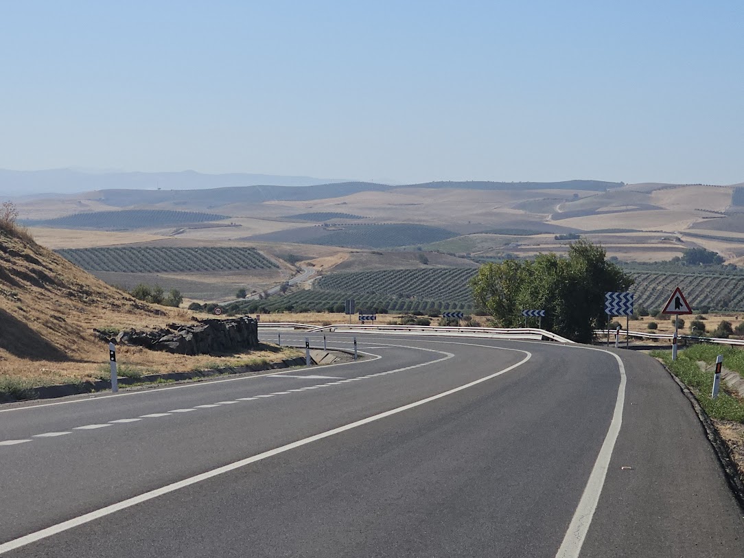 This is just a bit further up the road. Nice long easy ride to La Rambla and finally Puente Genil.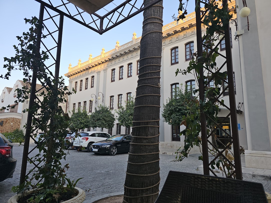
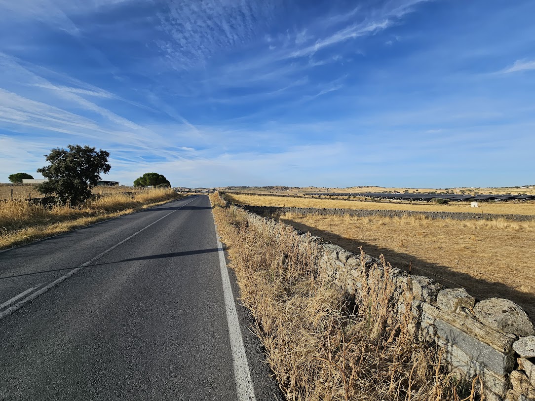 Day starts of on flat country roads but this will not last !
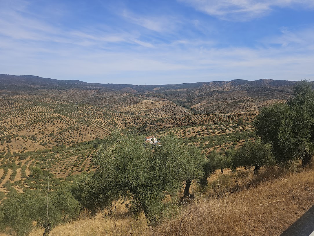 And here is a shot across the valley I have just crossed – that house in the tree is halfway up this side and where a driver offered to give me a lift!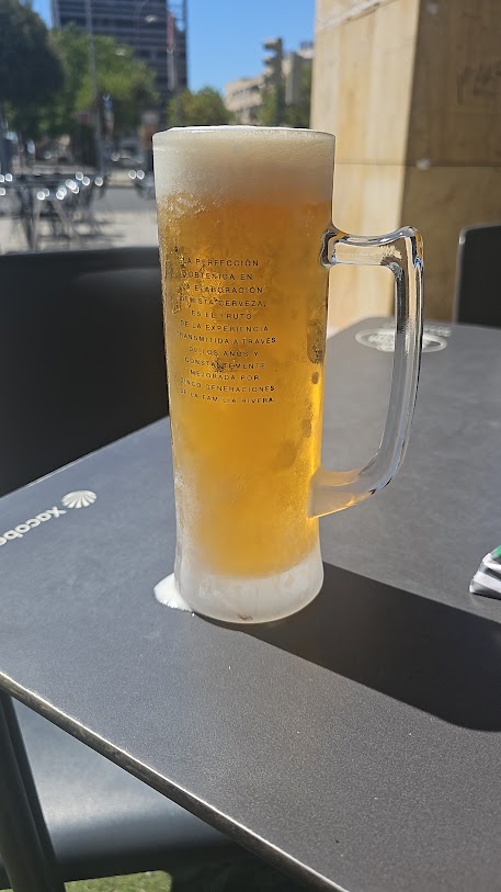
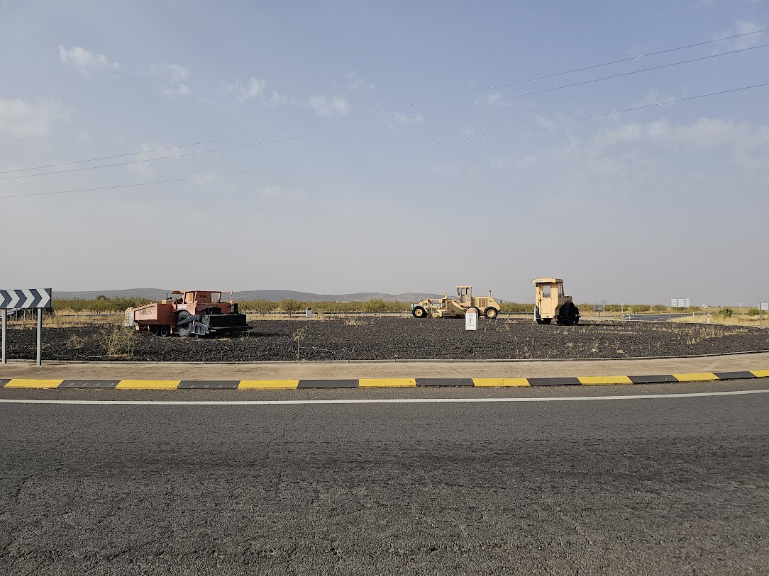
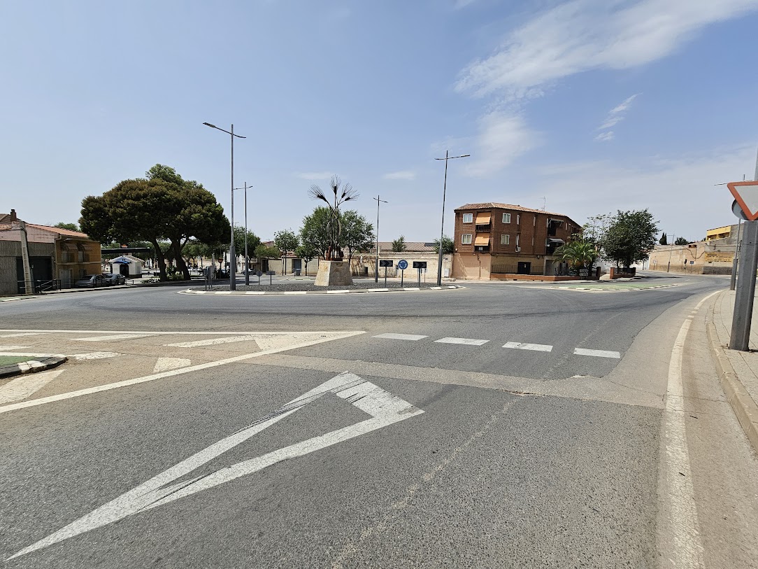
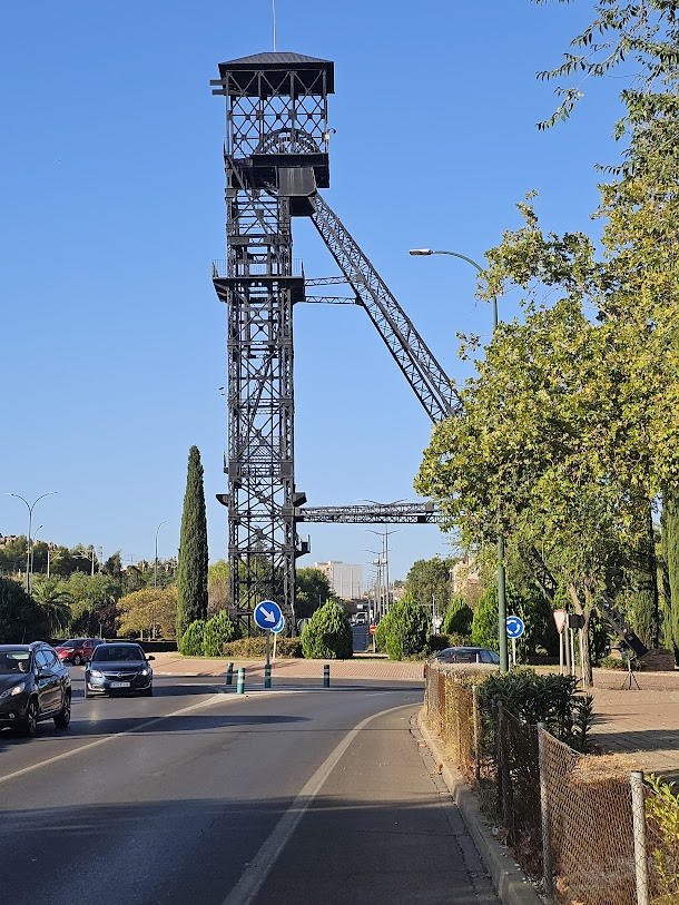 Puertollano – a nod to the mining history on the Glorietta.
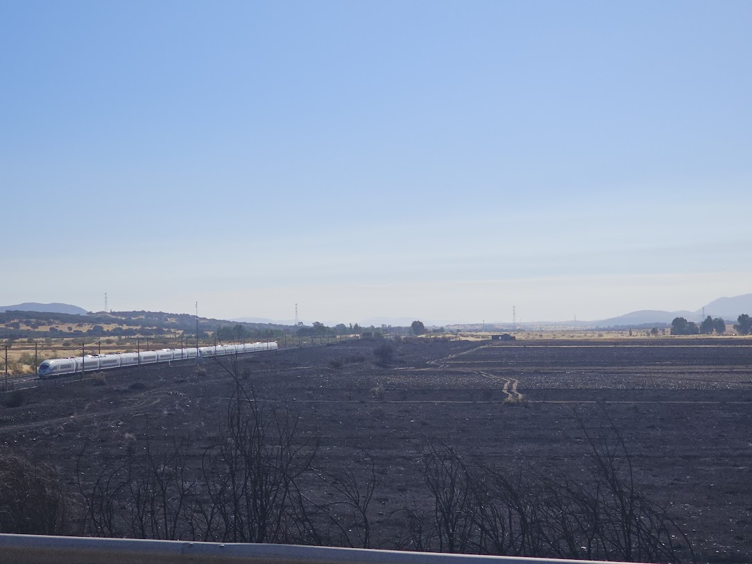 Just before the coffee stop at Brazatortas, a picture of fire damage taken from a road bridge. Over the past few days I have seen a few areas where there has been fires. This one the largest.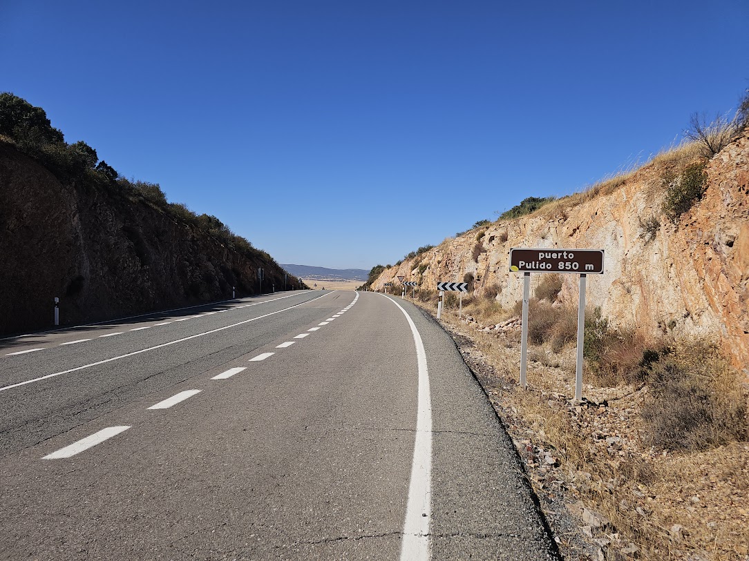
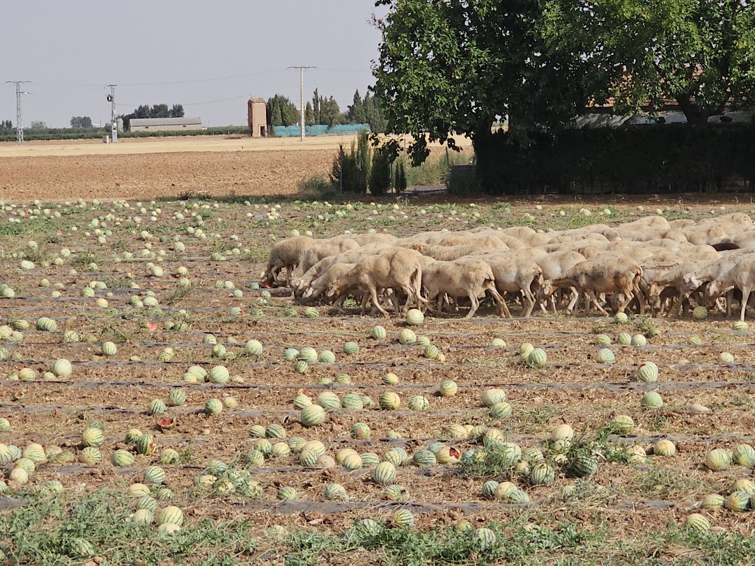 So, there I was cycling along the road. Spotted a flock of animals. Then spotted a field of Melons (Have not seen melons being grown in Spain before). Then the flock started to march across the crops. In some countries, livestock damaging crops lead to serious wars between tribes!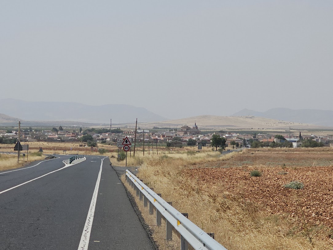
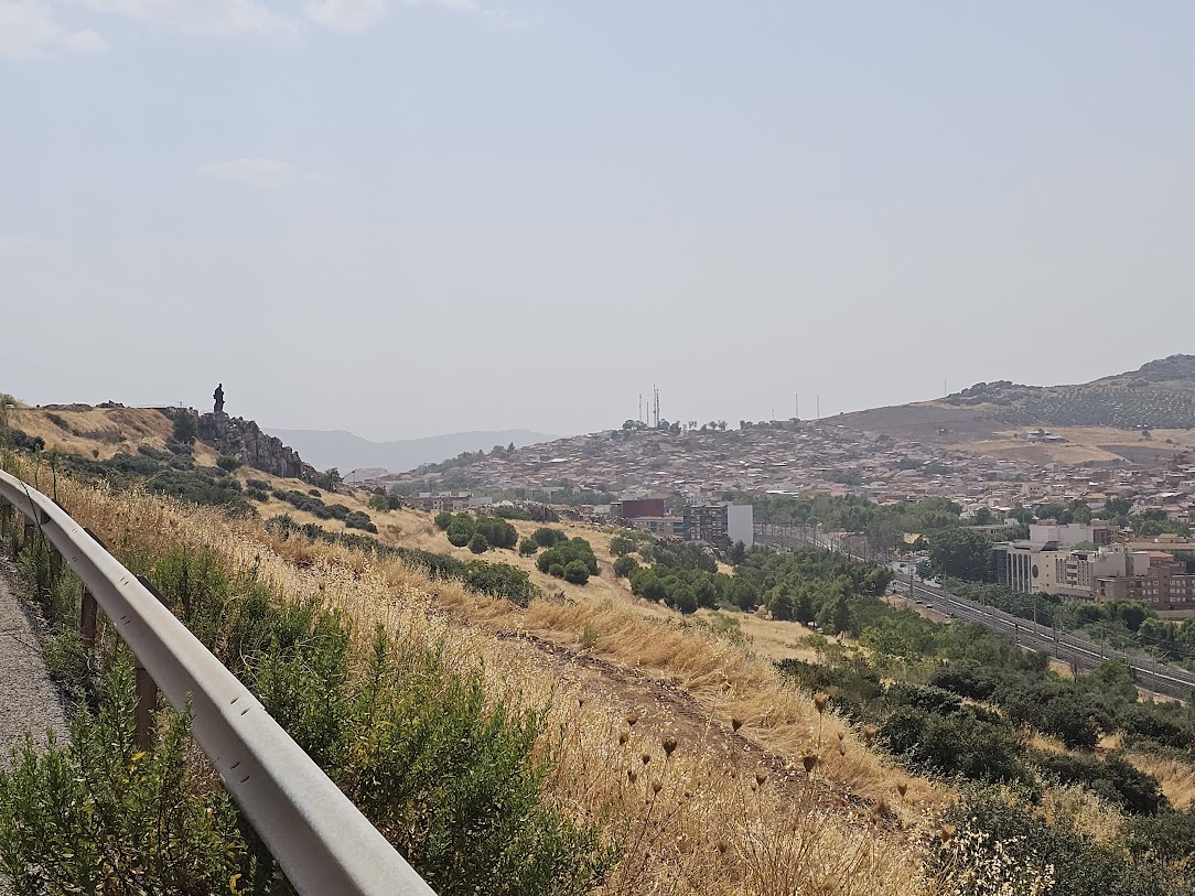 I really hate big climbs at the end of a ride This was in fact an unnecessary hill as I plugged in a duff location as a waypoint, so ended up about 3KM from my hotel. Duh! Anyhow this is looking down over Puertollano and ex mining city.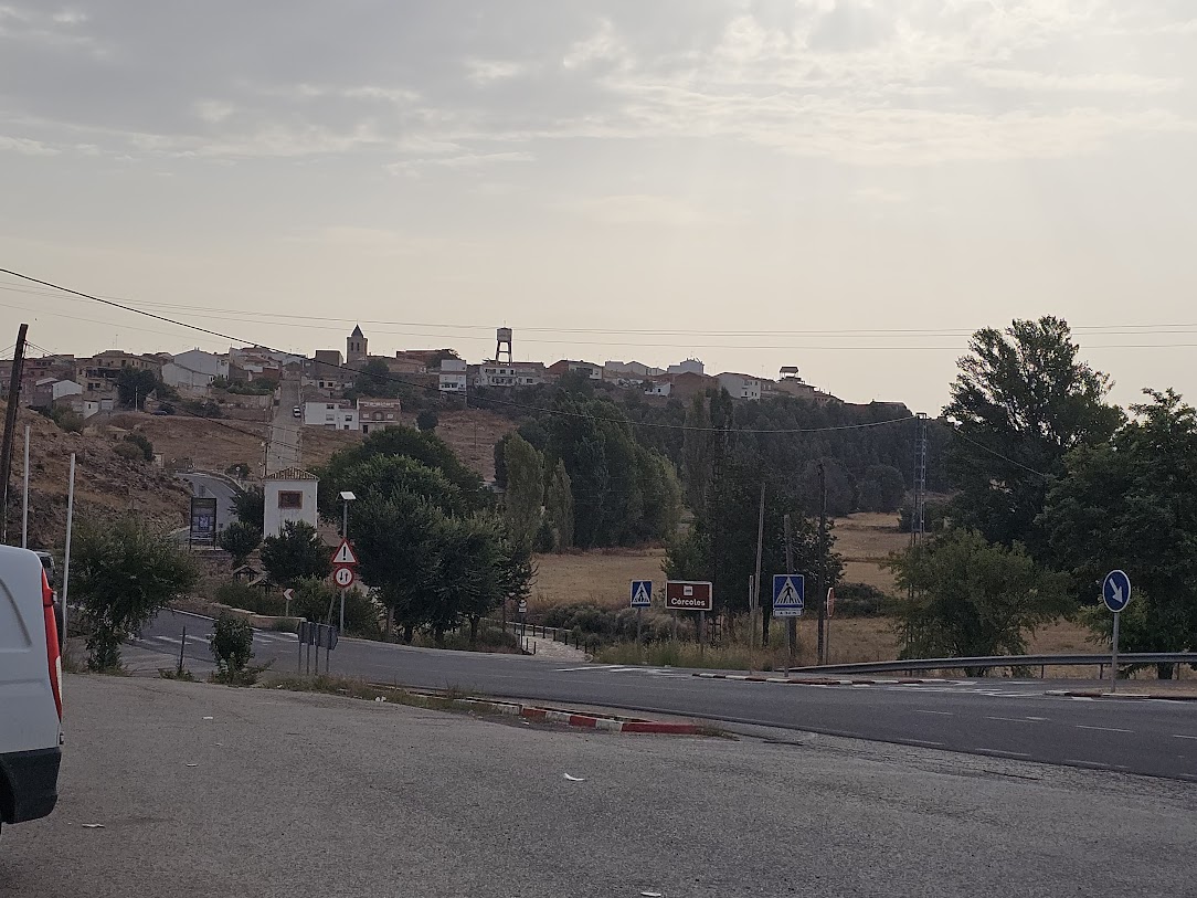
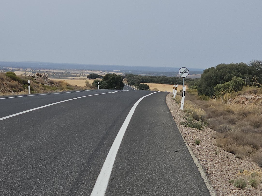
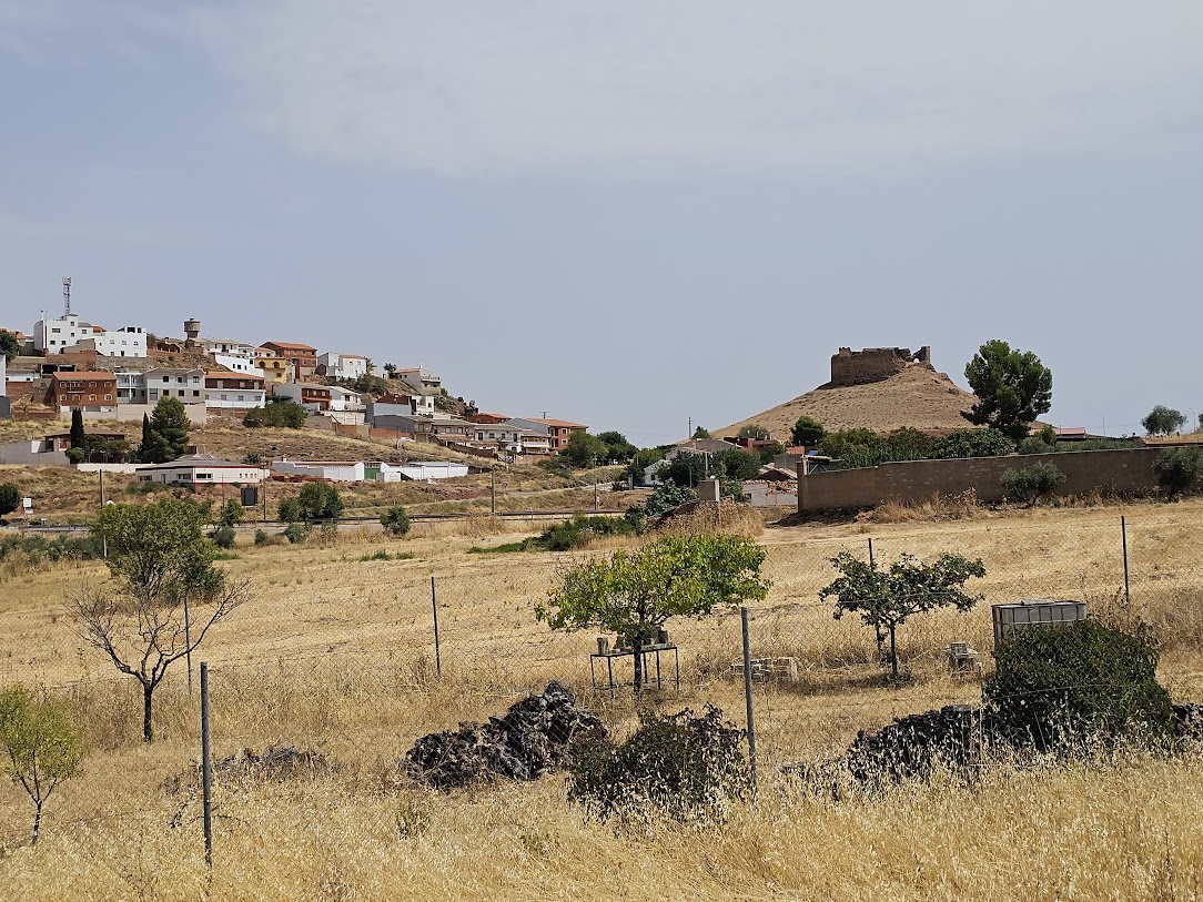
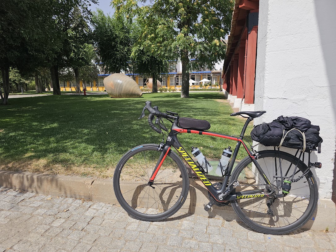
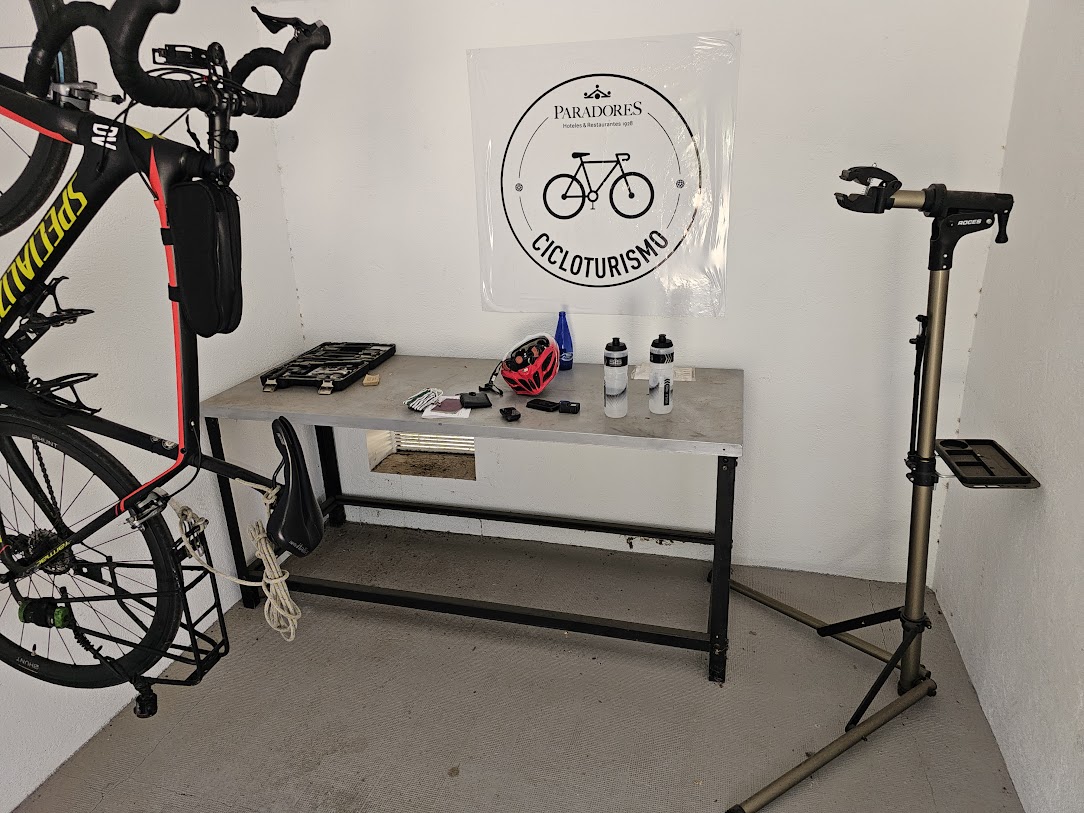
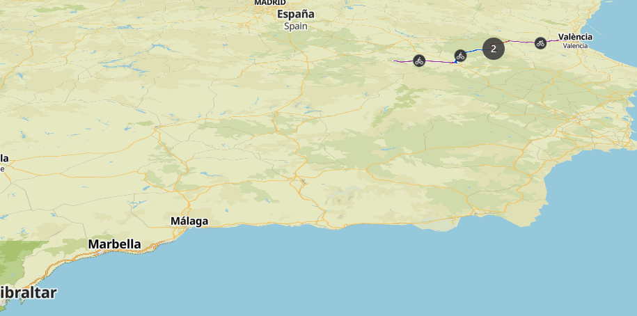
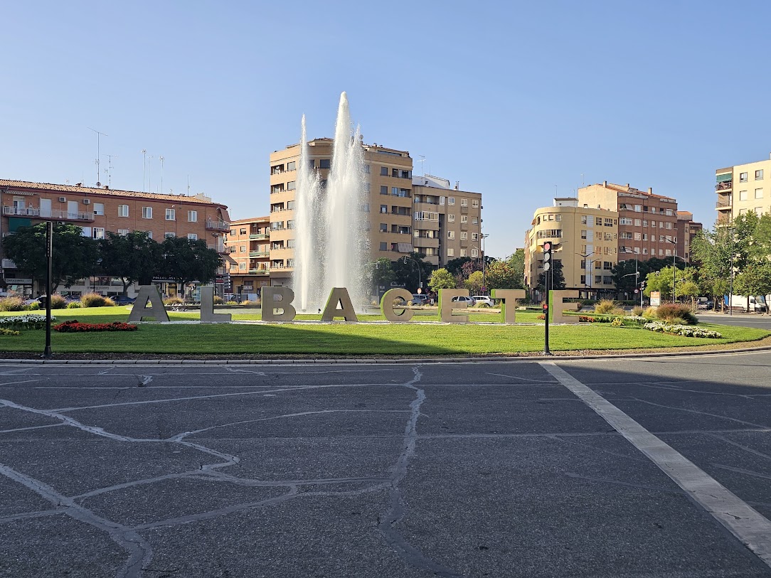
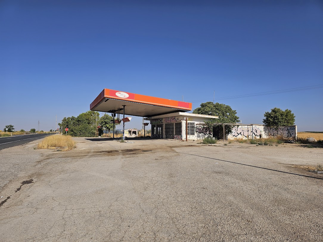
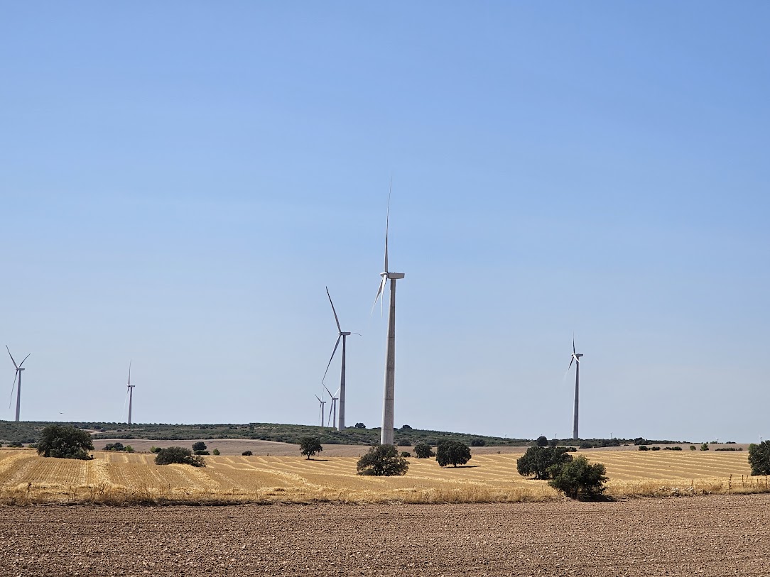 They do not build hills in Spain like they used to. This was the highest point of my ride today and it looks like the engineers short changed the government of 2m for the 1KM hill contract!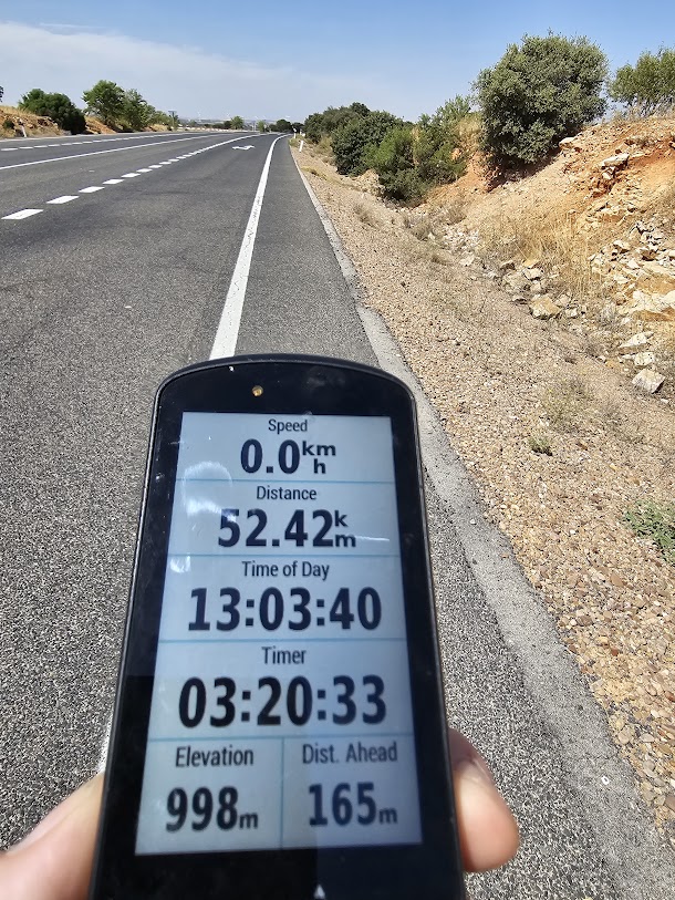
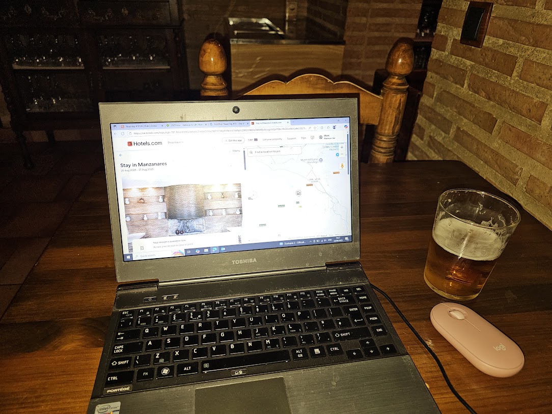 And here is the map of today’s adventure. Tomorrow, I am riding to the Parador.
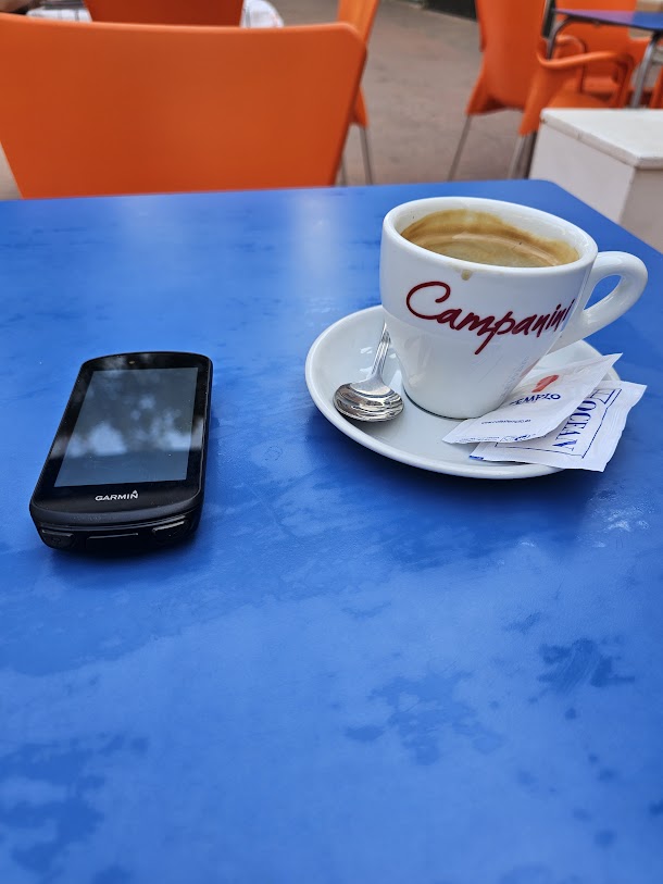 Day starts off with nice coffee and upload of route to GPS
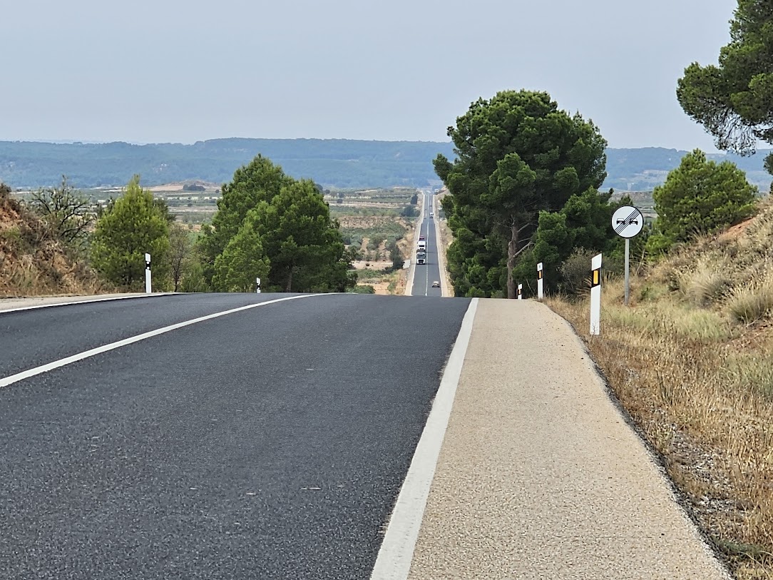
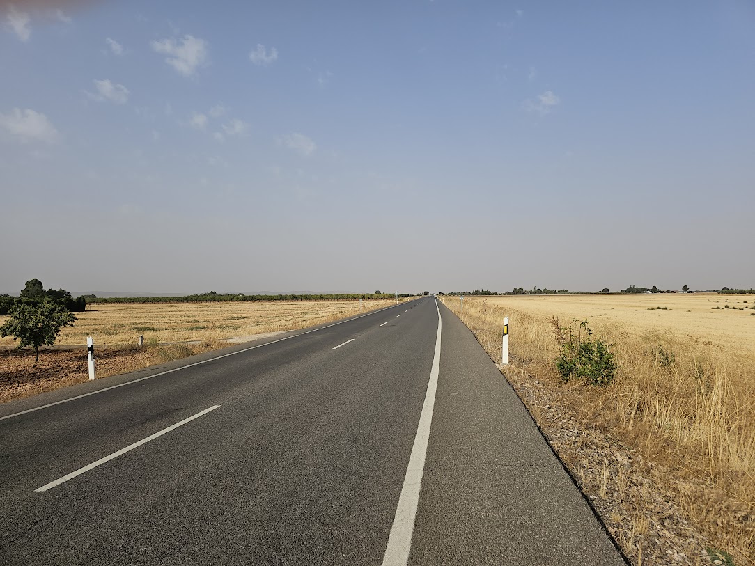
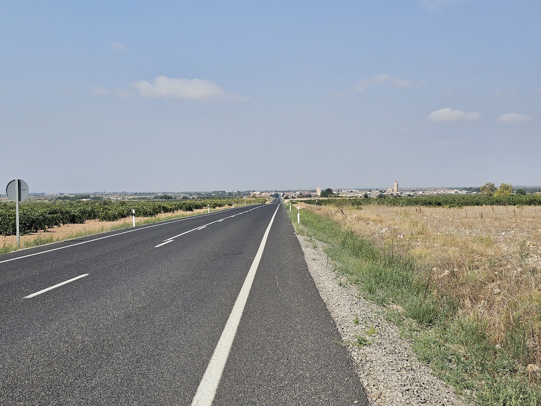 This is the N322. Nice and new and very smooth. Good progress being made. Just loving the lack of traffic. We can only dream of this in the UK. In fact we only had this sort of cycling experience in the UK during the Covid Pandemic.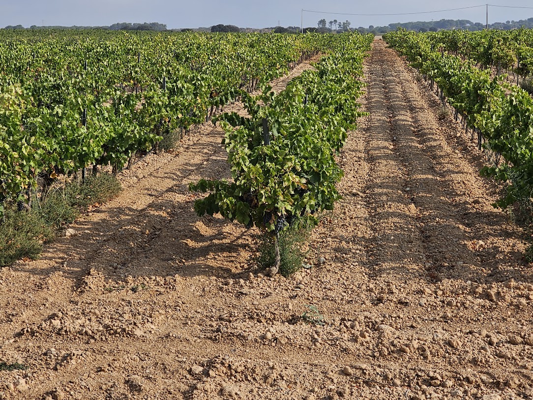
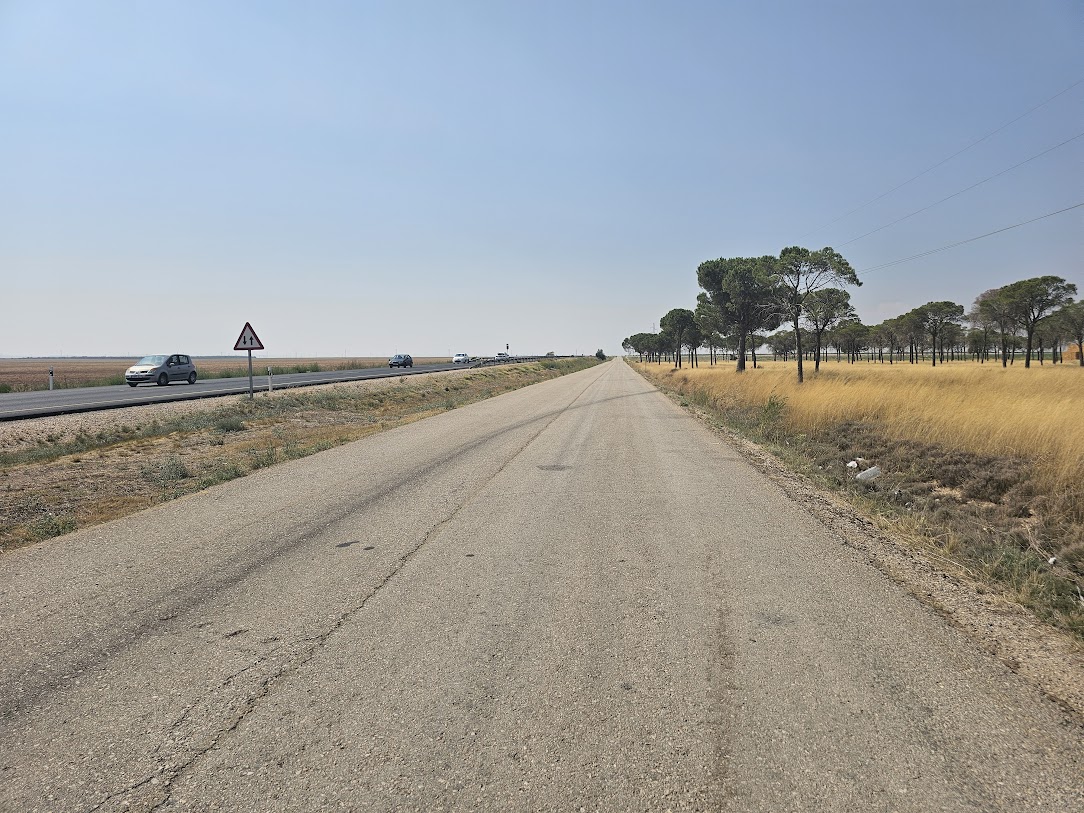 For about 8 KM the old N322 runs alongside the new stretch. Not sure why this was done as the old road was perfectly serviceable.